TROUT CREEK
Placer Gold Claim $4500 for 100%
LOCATION:
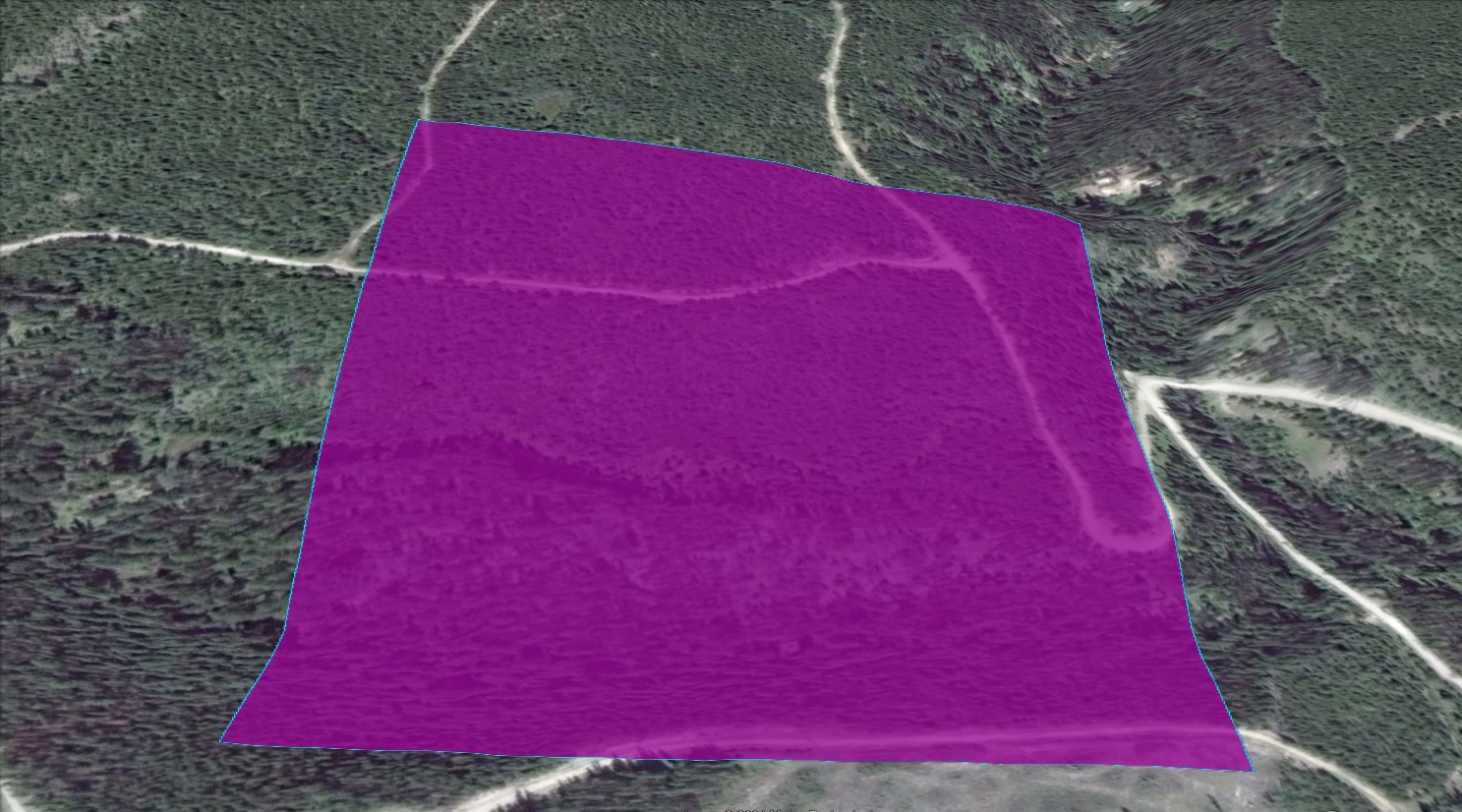
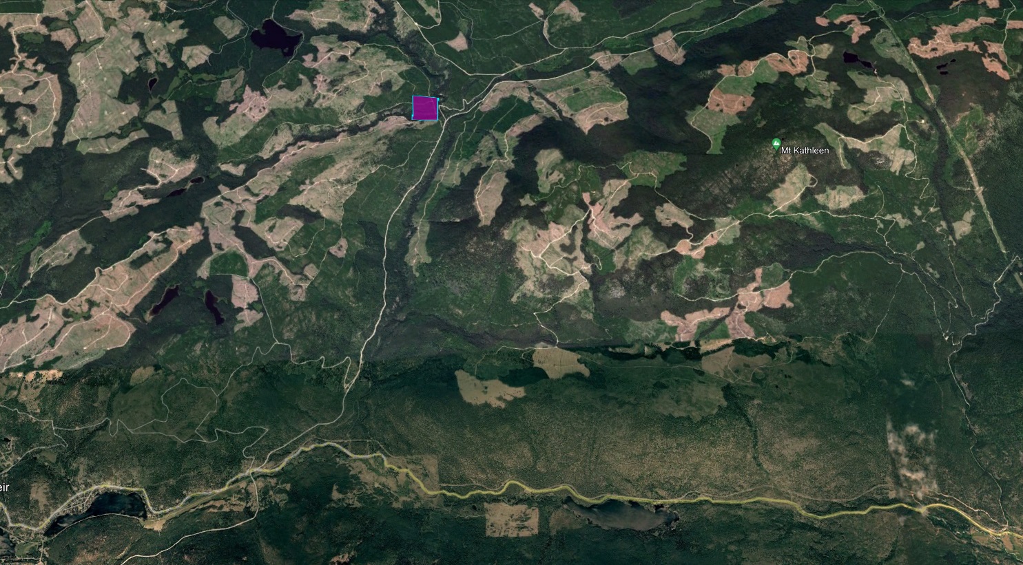
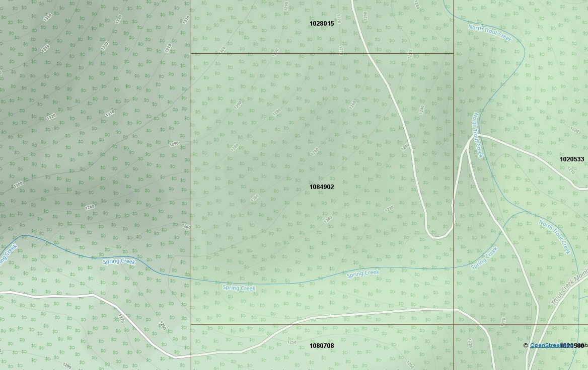
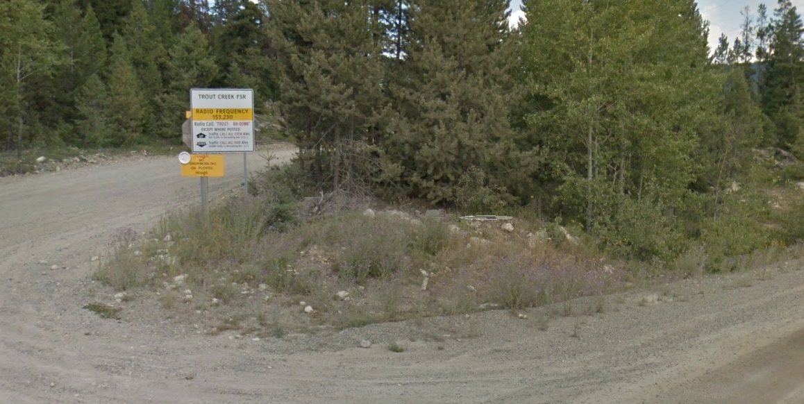
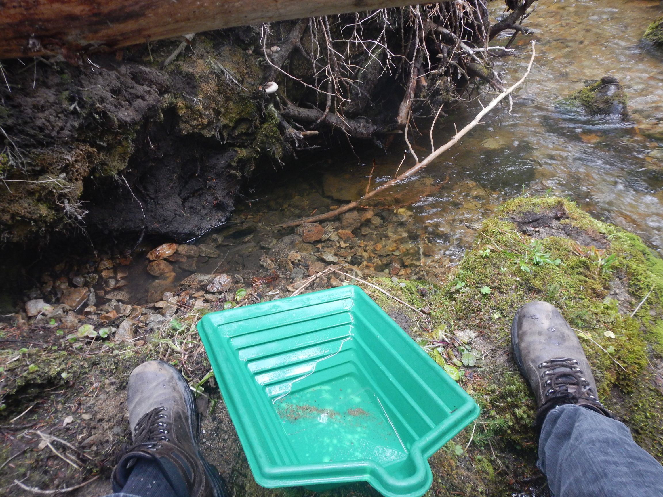
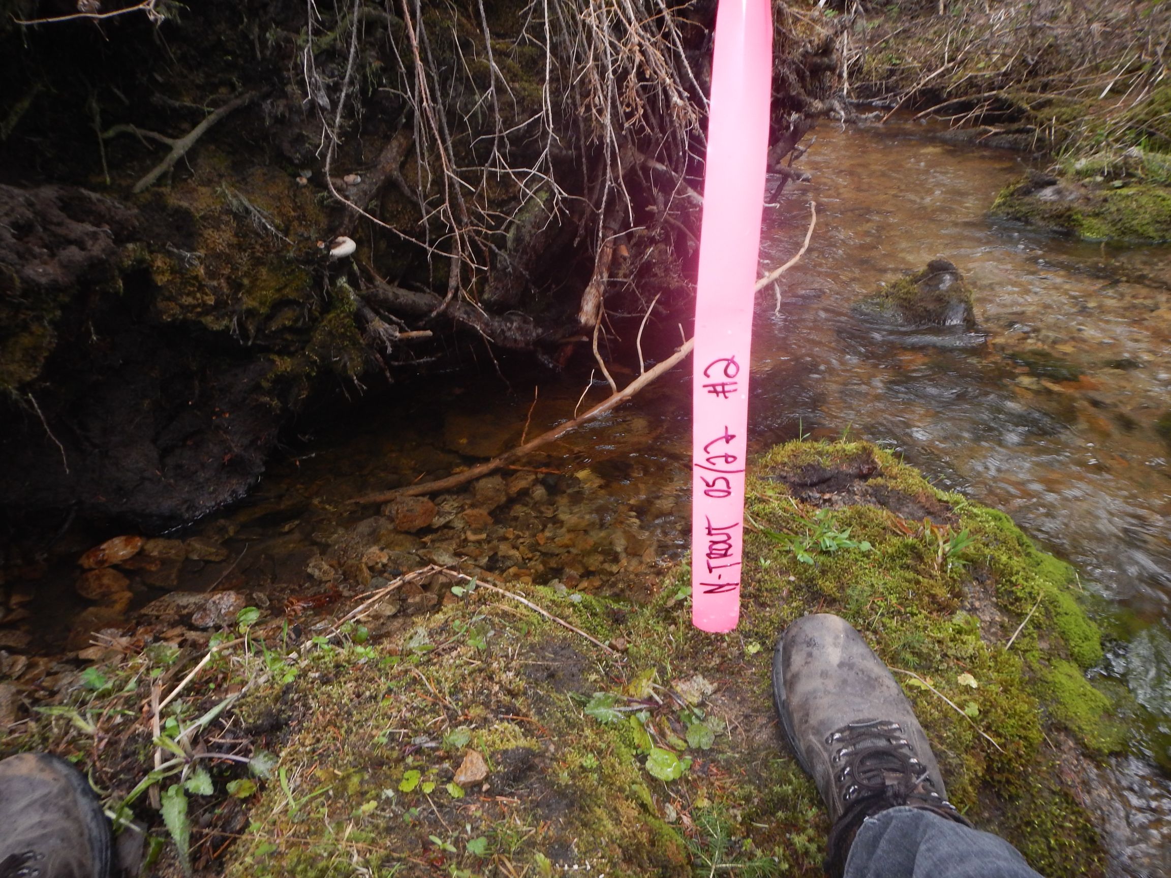
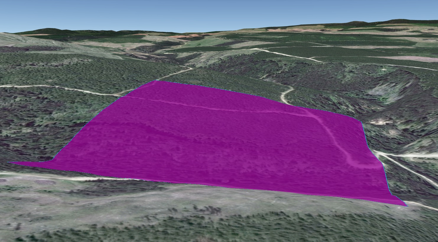
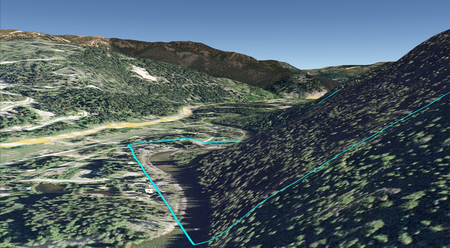
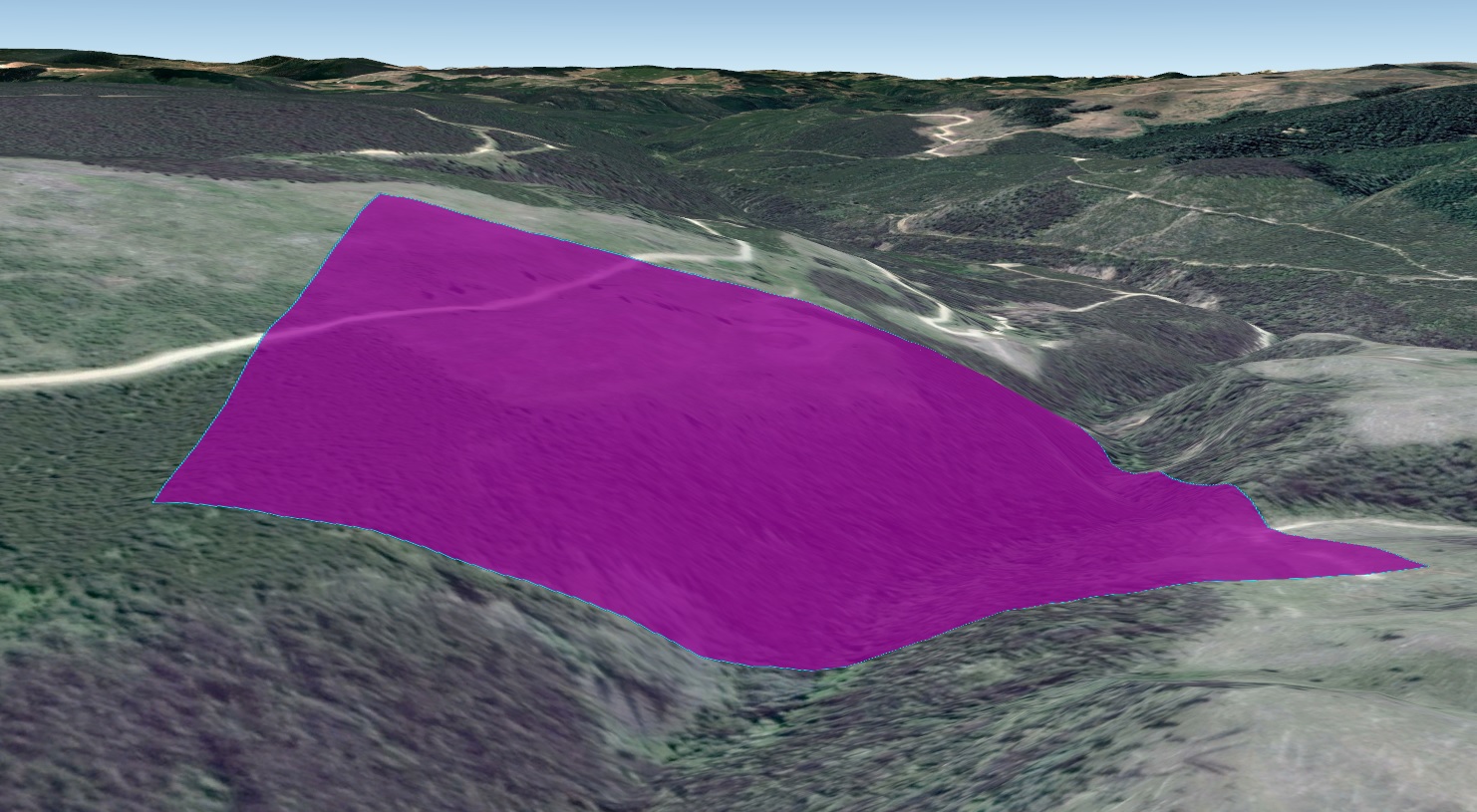
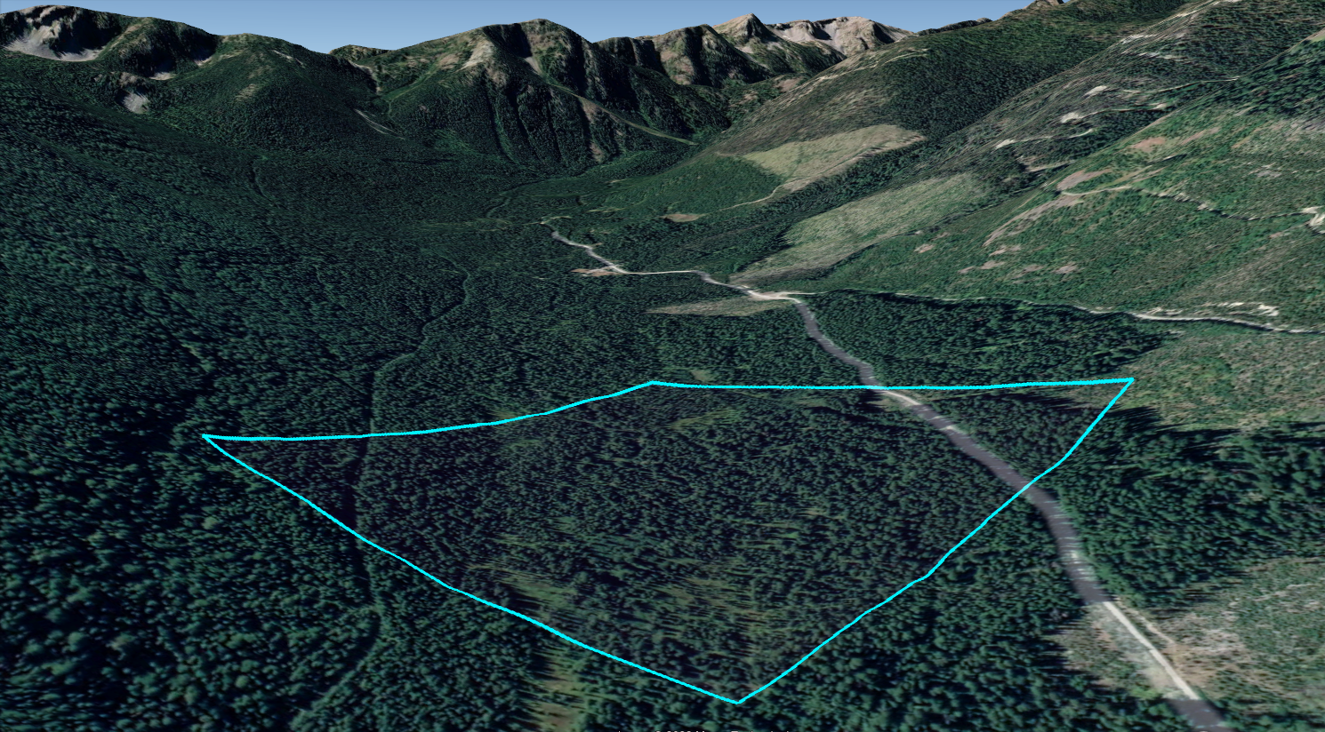
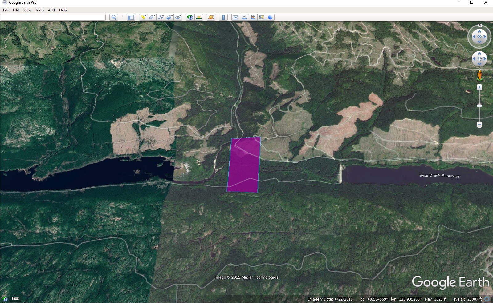
20.86 hectares / 51.54 acres. The property consists of BC Placer Tenure 1072667. From Summerland, proceed west on Princteton-Summerland Rd. for approx 52 km., to Trout Creek FSR. Proceed north on Trout Creek FSR for approx. 12 km. To the west are 2 forest service roads that intersect the property after approx. 200 metres, by the confluence of North Trout and Spring Creek. The property covers approx. 500 metres of frontage on both sides of spring creek, and an outwash area on the west side of North Trout Creek. The property is roughly equidistant between the towns of Princeton, Summerland and Peachland. The claim corners in UTM are:
ZONE EASTING NORTHING
10(SW) 705551.728 5517512.782
10(SE) 706001.666 5517529.932
10(NE) 705984.026 5517993.064
10(NW) 705534.127 5517975.914
UTM Claim corners may be converted to latitude/longitude here: https://www.engineeringtoolbox.com/utm-latitude-longitude-d_1370.html
GEOLOGY:
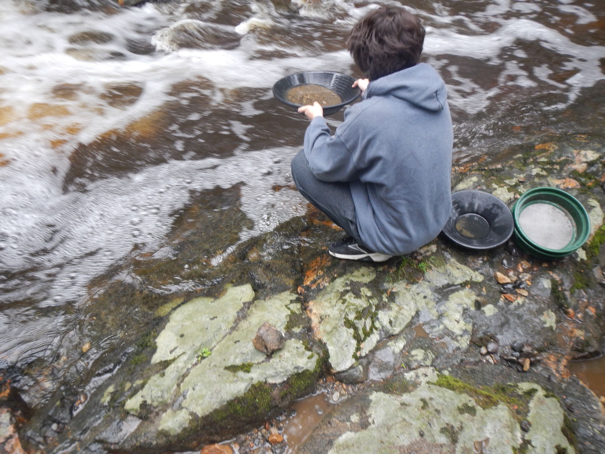
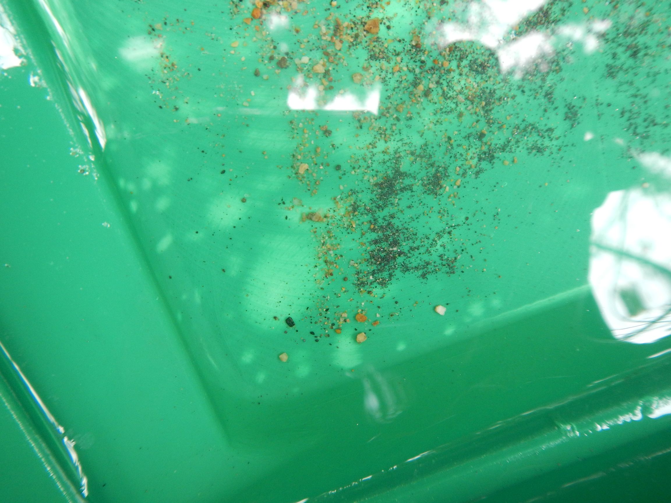
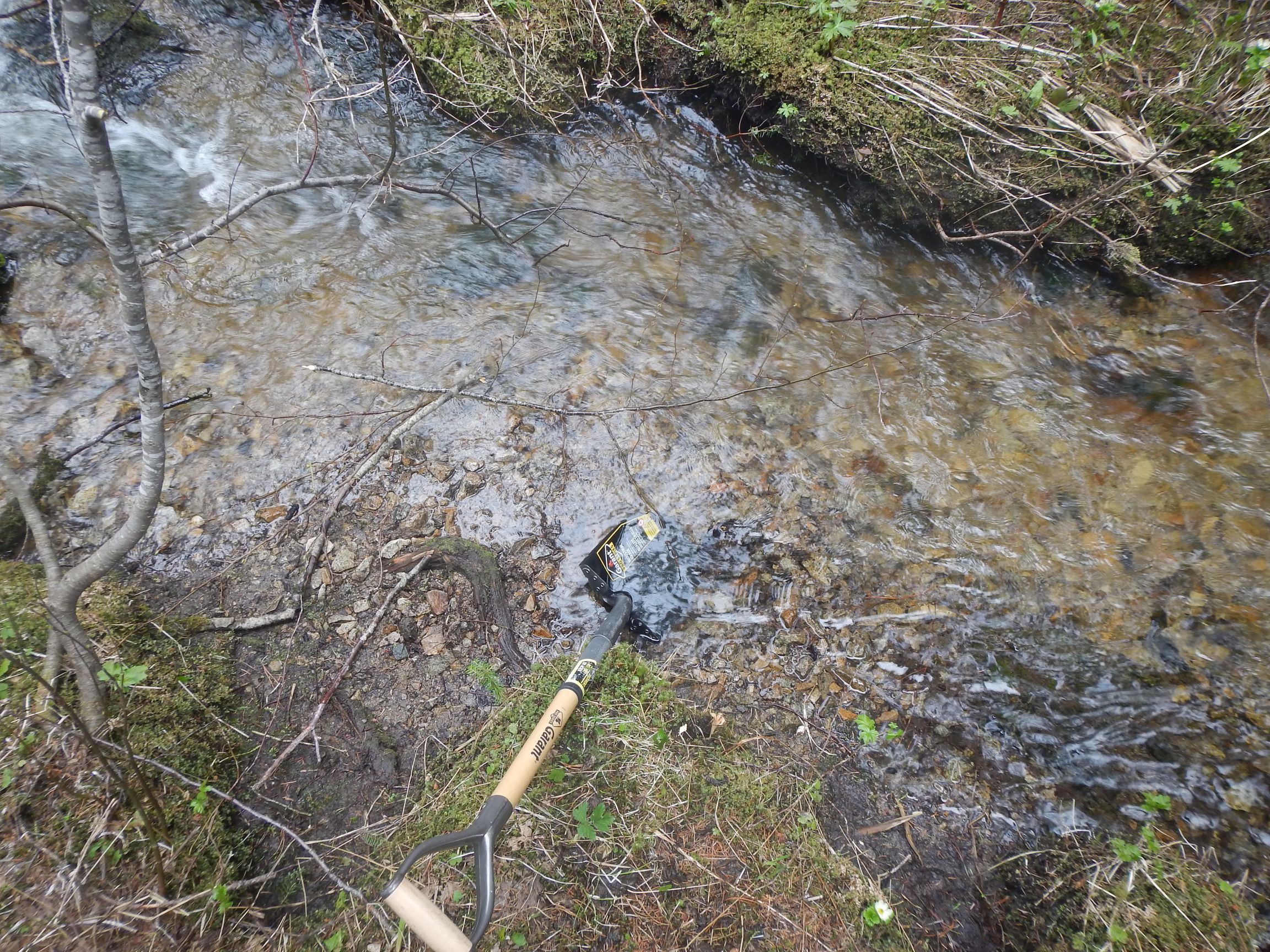
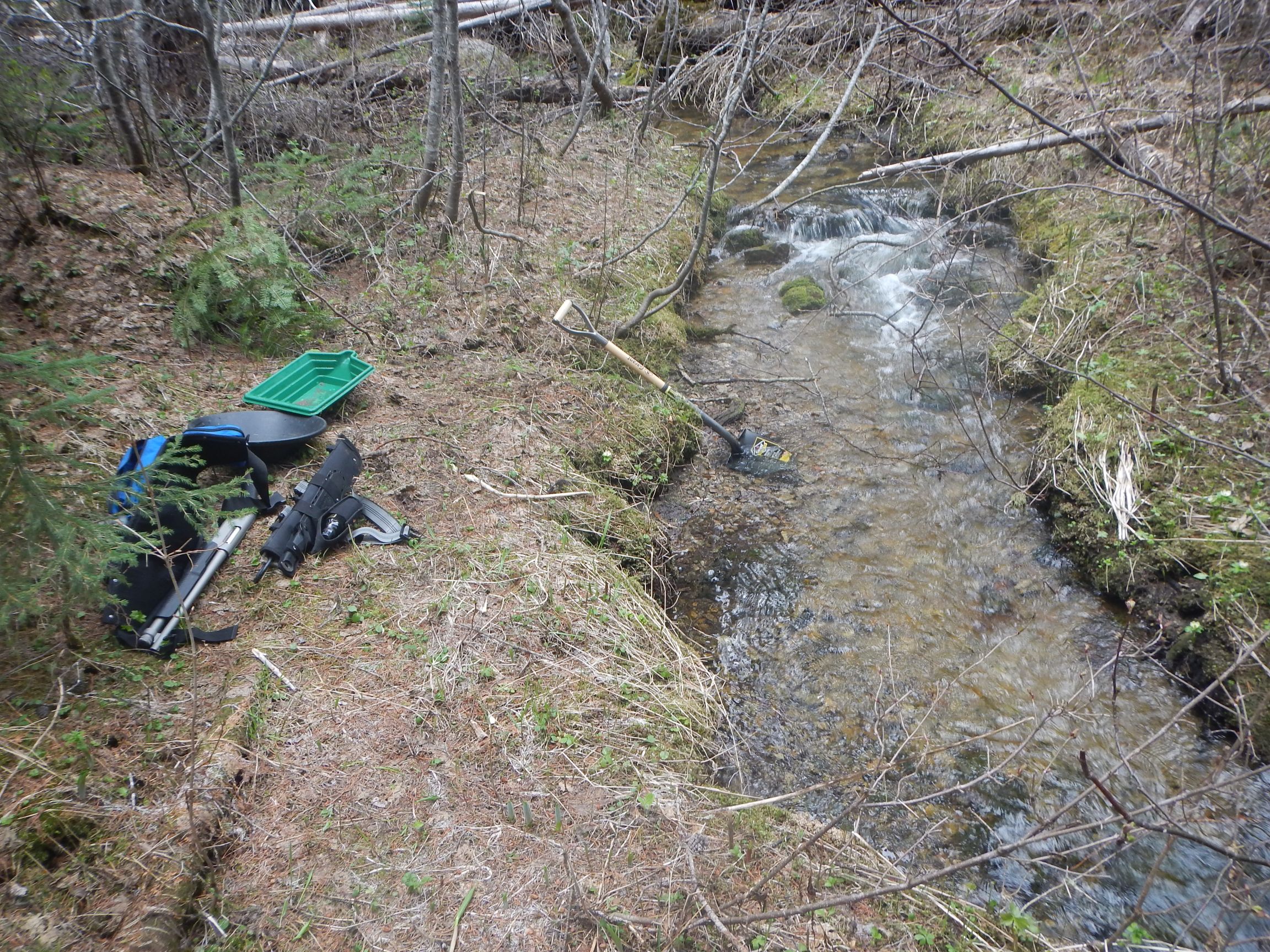
From Minfile 092HNE291: Placer gold has been recovered from several locations along North Trout Creek, 100 to 1300 metres above the creek’s confluence with Trout Creek. Three of the occurrences coincide with structural lineaments (Assessment Report 14989). Gold particles recovered from the stream’s gravels have an angular shape, indicating a source nearby (Assessment Report 17560). During the 1970’s and 1980’s, prospector Don Agur held numerous claims on lode showings in Siwash and North Trout Creeks. He also held placer claims on Siwash and North Trout Creeks, actively working the placer claims on North Trout Creek.
From ARIS 27416: In 1986 prospector Mr. Don Agur stated to the author that he found most of the placer gravel to about $7.00 Canadian per cubic yard (at $300/oz). The Upper placer area is about 150 metres of linear length along the creek, the Pat zone placer workings is about 50 metres long, the Camp area is about 80 metres long and the Main area is about 100 metres in length. The total 380 metre of creek length that was placer mined is assumed to be an average 20 metres wide. For each metre of depth mined the total mined is 7,600 cubic metres of gravel. At $7.00 per cubic yard converted to metric is 1/0.7646=1.30 X $7.00 = $9.15 per cubic metre. That brings the estimated production to 7,600 X $9.15 = $69,540.00. Using an arbitrary figure of US $300 for an ounce of gold and 1.33 for the US – Canadian exchange rate during the time when most of the placer gold was mined results in an approximate grade of 0.04 ounces of gold per cubic metre or a total production of 304 ounces of gold. If the actual thickness of gravel mined was greater than one metre, then production increases by the depth of metres mined. The length of creek mined is fairly accurate, however the width and thickness used in this example are the minimum, and both the width and thickness could easily be doubled.”
Warning – This property is offered for mining purposes only and ownership of the title to it does not include ownership of the surface rights or the right to use the surface for residential or recreational purposes.
TERMS:
Asking $4000 for 100%. Financing is available with $1000 down, no credit checks. A 10% discount is offered to seniors, veterans, military and EMS workers.
CONTACT:
Please reply to this ad or contact us directly for more info:
Email info@bcgold.com
Tel (250) 999-1221